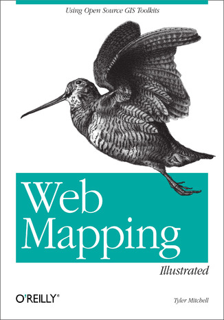
Web Mapping Illustrated. Using Open Source GIS Toolkits Tyler Mitchell


- Autor:
- Tyler Mitchell
- Wydawnictwo:
- O'Reilly Media
- Ocena:
- Stron:
- 372
- Dostępne formaty:
-
ePubMobi
Opis
książki
:
Web Mapping Illustrated. Using Open Source GIS Toolkits
With the help of the Internet and accompanying tools, creating and publishing online maps has become easier and rich with options. A city guide web site can use maps to show the location of restaurants, museums, and art venues. A business can post a map for reaching its offices. The state government can present a map showing average income by area.Developers who want to publish maps on the web often discover that commercial tools cost too much and hunting down the free tools scattered across Internet can use up too much of your time and resources. Web Mapping Illustrated shows you how to create maps, even interactive maps, with free tools, including MapServer, OpenEV, GDAL/OGR, and PostGIS. It also explains how to find, collect, understand, use, and share mapping data, both over the traditional Web and using OGC-standard services like WFS and WMS.Mapping is a growing field that goes beyond collecting and analyzing GIS data. Web Mapping Illustrated shows how to combine free geographic data, GPS, and data management tools into one resource for your mapping information needs so you don't have to lose your way while searching for it.Remember the fun you had exploring the world with maps? Experience the fun again with Web Mapping Illustrated. This book will take you on a direct route to creating valuable maps.
Wybrane bestsellery
O'Reilly Media - inne książki
Dzięki opcji "Druk na żądanie" do sprzedaży wracają tytuły Grupy Helion, które cieszyły sie dużym zainteresowaniem, a których nakład został wyprzedany.
Dla naszych Czytelników wydrukowaliśmy dodatkową pulę egzemplarzy w technice druku cyfrowego.
Co powinieneś wiedzieć o usłudze "Druk na żądanie":
- usługa obejmuje tylko widoczną poniżej listę tytułów, którą na bieżąco aktualizujemy;
- cena książki może być wyższa od początkowej ceny detalicznej, co jest spowodowane kosztami druku cyfrowego (wyższymi niż koszty tradycyjnego druku offsetowego). Obowiązująca cena jest zawsze podawana na stronie WWW książki;
- zawartość książki wraz z dodatkami (płyta CD, DVD) odpowiada jej pierwotnemu wydaniu i jest w pełni komplementarna;
- usługa nie obejmuje książek w kolorze.
Masz pytanie o konkretny tytuł? Napisz do nas: sklep@helion.pl
Książka drukowana















Oceny i opinie klientów: Web Mapping Illustrated. Using Open Source GIS Toolkits Tyler Mitchell
(0)