×
Dodano do koszyka:
Pozycja znajduje się w koszyku, zwiększono ilość tej pozycji:
Zakupiłeś już tę pozycję:
Książkę możesz pobrać z biblioteki w panelu użytkownika
Pozycja znajduje się w koszyku
Przejdź do koszyka

Zawartość koszyka

ODBIERZ TWÓJ BONUS :: »

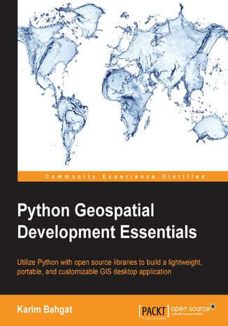
Python Geospatial Development Essentials. Utilize Python with open source libraries to build a lightweight, portable, and customizable GIS desktop application Karim Bahgat
(ebook) (audiobook) (audiobook) Książka w języku 1
Python Geospatial Development Essentials. Utilize Python with open source libraries to build a lightweight, portable, and customizable GIS desktop application Karim Bahgat - okladka książki

Python Geospatial Development Essentials. Utilize Python with open source libraries to build a lightweight, portable, and customizable GIS desktop application Karim Bahgat - okladka książki

Python Geospatial Development Essentials. Utilize Python with open source libraries to build a lightweight, portable, and customizable GIS desktop application Karim Bahgat - audiobook MP3

Python Geospatial Development Essentials. Utilize Python with open source libraries to build a lightweight, portable, and customizable GIS desktop application Karim Bahgat - audiobook CD

Autor:
Karim Bahgat
Ocena:
Bądź pierwszym, który oceni tę książkę
Stron:
192
Dostępne formaty:
     PDF
     ePub
     Mobi

Ebook (80,91 zł najniższa cena z 30 dni)

89,90 zł (-10%)
80,91 zł

Dodaj do koszyka lub Kup na prezent Kup 1-kliknięciem

(80,91 zł najniższa cena z 30 dni)

Przenieś na półkę

Do przechowalni

O autorze książki

Karim Bahgat holds an MA in peace and conflict transformation from the University of Troms in Norway, where he focused on the use of geographic information systems (GIS), opinion survey data, and open source programming tools in conflict studies. Since then, he has been employed as a research assistant for technical and geospatial work at the Peace Research Institute Oslo (PRIO) and the International Law and Policy Institute (ILPI). Karim was part of the early prototyping of the PRIO-GRID unified spatial data structure for social science and conflict research, and is currently helping develop a new updated version (https://www.prio.org/Data/PRIO-GRID/). His main use of technology, as a developer, has been with Python programming, geospatial tools and mapping, the geocoding of textual data, data visualization, application development, and some web technology. Karim is the author of a journal article publication, numerous data- and GIS-oriented Python programming libraries, the Easy Georeferencer free geocoding software, and several related technical websites, including www.pythongisresources.wordpress.com.

Packt Publishing - inne książki

Zamknij

Przenieś na półkę

Proszę czekać...
ajax-loader

Zamknij

Wybierz metodę płatności

Ebook
80,91 zł
Dodaj do koszyka
Zamknij Pobierz aplikację mobilną Ebookpoint
Zabrania się wykorzystania treści strony do celów eksploracji tekstu i danych (TDM), w tym eksploracji w celu szkolenia technologii AI i innych systemów uczenia maszynowego. It is forbidden to use the content of the site for text and data mining (TDM), including mining for training AI technologies and other machine learning systems.